
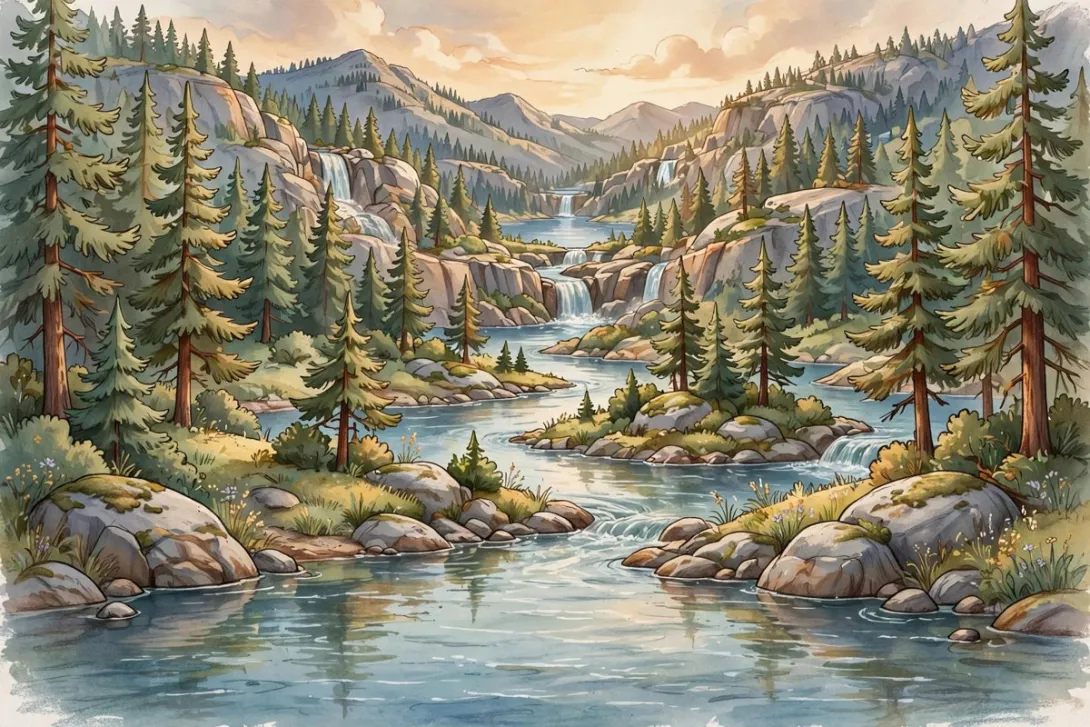
Stand on the shore at Black Bay on a still morning and the Spokane River can look like it has nowhere in particular to go. The water moves, but gently, the way a lake might stir in a light breeze. That calm is a little deceptive. The river passing Post Falls is only a few miles into one of the great journeys of the Northwest, and Black Bay sits right along its opening stretch.
The Spokane River begins where it drains the northern end of Lake Coeur d'Alene. From there it crosses the Rathdrum Prairie, reaching Post Falls about nine miles west of the lake. Its full course runs roughly 111 miles, ending where it meets the Columbia River at Franklin D. Roosevelt Lake in Washington. So the quiet water at Black Bay is, in a real sense, lake water that has stood up, gathered itself, and set off for the Pacific watershed.
At Post Falls, the river changes its character completely. It splits into three channels, each with its own natural falls, then rejoins just downstream of the falls. That unusual split is the whole reason a town grew here at all. In the late 1800s, Frederick Post recognized what that falling, divided water could do, secured rights to the site, and built a sawmill beside it. The mills and power plants that followed belong to other chapters of this story, but they all start with the same fact: the river narrows, divides, and drops here, and nowhere else nearby.
There is a second river story here, and it runs underground. Thousands of years ago, during the last glacial age, repeated outburst floods from ancient Glacial Lake Missoula swept across this region. Those floods laid down thick beds of boulders, cobbles, and gravel, and the water held in those coarse deposits became the Spokane Valley-Rathdrum Prairie Aquifer. The river and the aquifer still trade water back and forth, losing flow in some reaches and gaining it in others. The aquifer was designated a sole source aquifer by the U.S. Environmental Protection Agency in 1978, and it remains the drinking water supply for hundreds of thousands of people in Kootenai County and the Spokane area.
That is what makes the shoreline at Black Bay more than scenery. Black Bay Park, on East Third Avenue, gives the neighborhood a front-row seat on a working river: one that powered a town's first industry, still turns through the falls downstream, and quietly refills the groundwater beneath the prairie homes above it. When you watch the current slide past the pines and granite here, you are watching both stories at once, the river you can see and the river you cannot.
- Log in to post comments